![]()


Coming soon.
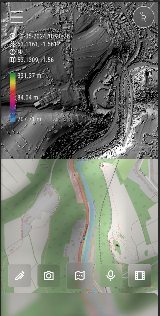
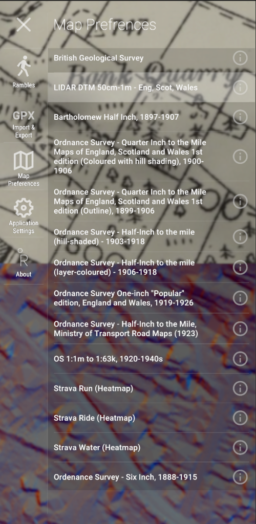
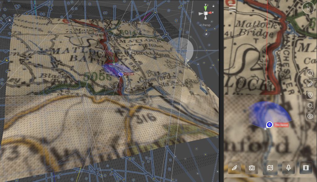
Rambler started as a simple way to record and plan walks that was requested by a dear friend. Nothing fancy. Just maps, trails, and memories. And I figured, damn I could work on something purely practical, then make it as awesome as I can. That was three years ago.. Making a practical application and my scope being the entire planet with data ranging from 3D topographical to historical and LiDAR maps may have been a bit much, but I can’t leave it alone.
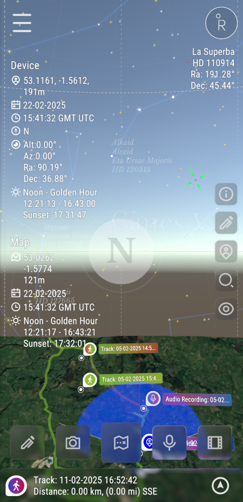
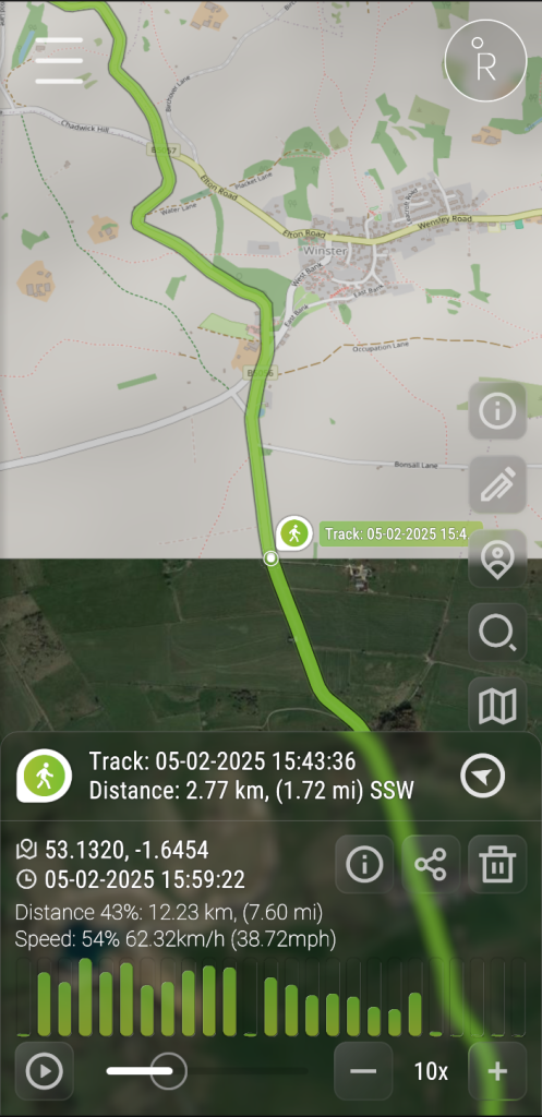
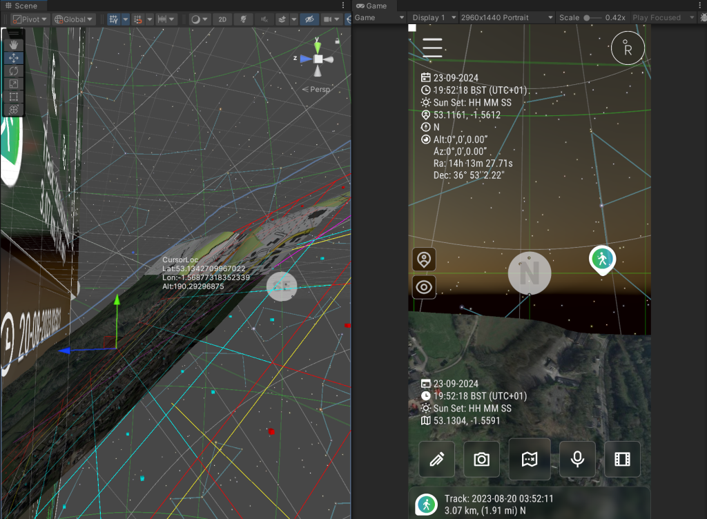
As an interactive media designer and developer, I couldn’t resist layering in more, so it now has GPS tracking, rich media notes, trail planning, even AR views and a pretty sweet frosted glass style (glassmorphism) based UI. Rambler’s still built for ramblers, but with just enough nerdy features to make it feel… mine. The next steps are to release it for free, and introduce subscription based live ops like sharing a Ramble, a shared container that holds your planned route, notes, and media which others can join, explore, or follow without needing to pay a penny
If you love wandering, discovering, and recording where you’ve been without paying premium for some generic Trail-style map application, I think you’ll like it.
Stay tuned. It’s almost ready.